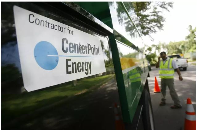
CenterPoint Energy Monitors Tropical Disturbance Invest 93L Approaching Gulf: Minimal Impact Expected for Houston
July 16, 2025 – Houston, TX — CenterPoint Energy announced on Tuesday that it is actively monitoring a tropical disturbance, known as Invest 93L, as it moves westward across Florida and into the Gulf of Mexico. The Houston-based utility emphasized that while the system may strengthen later this week, impacts to the Greater Houston area are expected to be minimal, with the primary concerns being isolated heavy rainfall and localized flash flooding.
In a press release issued Tuesday, CenterPoint Energy stated that its Meteorology, Emergency Planning & Response, and Electric Operations teams are on alert and prepared to respond if the system organizes further or shifts track toward the Texas coast.
“CenterPoint’s meteorology team continues to monitor activity across the Gulf, including Invest 93L as it moves westward across the Florida Peninsula,” said Matt Lanza, Manager of Meteorology at CenterPoint. “We project a low likelihood that this storm could become a tropical depression or tropical storm later this week and are prepared to respond accordingly.”
Encouraging Preparedness
While current forecasts suggest Houston will likely avoid severe impacts, CenterPoint is encouraging customers to take precautions. Officials urged residents to enroll in Power Alert Service to receive real-time updates on outages affecting their homes, families, and communities. Customers were also reminded to check the newly improved Outage Tracker for the latest information on any service disruptions.
NOAA Forecasts Development Possible
As of Tuesday afternoon, the National Hurricane Center (NHC) reported that development of Invest 93L overnight was unlikely. However, forecasters noted that conditions may become more favorable on Wednesday as the system enters the warm waters of the northeastern Gulf of Mexico. If the disturbance strengthens into a tropical depression or storm, it could approach the Louisiana coast by Thursday.
Meteorologists caution that while maximum sustained winds remain below 38 mph—still in the tropical depression range—the disturbance could still bring dangerous rainfall and flooding to parts of the Gulf Coast. Should the system develop into a named storm, it would be called Tropical Storm Dexter.
Rain, Flood Risk Loom for Southeast Texas
With the storm system moving westward, Southeast Texas, including Houston, may experience increased rain chances through the weekend. The National Weather Service forecasts a 50% chance of showers and thunderstorms in Houston by Saturday, with flash flooding possible in vulnerable areas beginning Friday.
Officials stress that even weak tropical systems can pose serious flood risks. With soil already saturated in parts of the region and drainage infrastructure vulnerable, residents are advised to remain weather-aware.
A Cautious Start to Peak Hurricane Season
The appearance of Invest 93L marks one of the first significant tropical threats of the 2025 Atlantic hurricane season, which traditionally peaks in August and September. It also follows the devastating impact of Hurricane Beryl in the region last year—a deadly storm that claimed at least 36 lives and left more than a million customers without power in the Houston area.
CenterPoint Energy’s response teams remain on standby, though current indicators suggest no major service interruptions are expected from this system.


